In my early field trials, long before drones became a regular sight above farmland, I realized the immense power of geographic tools when trying to analyze fragmented data from multiple sources. Today, with satellites watching from the sky and field machinery moving precisely across the ground, we can effortlessly collect critical Geographic Information System (GIS) layers that once took weeks to compile. This transformation isn’t just about technology—it’s about agriculture becoming smarter and more adaptive. GIS has proven to be incredibly valuable not only for precision farming and crop prediction but also for livestock tracking and broader sustainable development strategies. I’ve seen agri-food stakeholders, both major and emerging, leverage solutions that align with both short-term profits and long-term goals. The ability to utilize such information routinely is what separates reactive decisions from proactive leadership. What once felt like a fragmented landscape now feels like a unified, dynamic network—one that thrives on readily available insights, grounded in purpose, and built for a wide variety of purposes. This isn’t just about “tech in ag”; it’s about why GIS is the nerve center for those who lead.
What is GIS in Agriculture?
In farming, most of our decisions came from gut feeling, long hours in the field, and a lot of guesswork. Things have changed now, especially with tools like GIS—a game-changer for people like us who work the land. It’s not just some fancy technical term; it’s a practical tool that helps farmers make sense of the land through multi-layered, interactive maps. With GIS, we can visualize complex data from our fields, track how our crops are doing, and analyze things like soil health or water flow with spatial analysis. I’ve seen how GPS, robotics, drone, and satellite monitoring now help us collect real-time field data, which we used to record by hand, if at all. Whether it’s spotting early signs of pests through change detection , or noticing unusual patterns in crop growth, these tools let us monitor and manage things remotely, without walking every acre. This kind of precision agriculture is the backbone of how we farm today—it relies on interpreting massive amounts of field data so we can make informed choices. As farming stretches beyond small domestic farmlands to larger areas, even across countries, big corporations and smallholders alike need to keep productive with the help of regular remote observation and prompt problem-solving. I’ve come to depend on GIS solutions for everything from planting to harvest, especially with its constant, multi-factor danger assessments that show where things might go wrong before they do. The scope of modern agriculture has grown fast, and honestly, I don’t see how we could keep up without these technologies by our side.
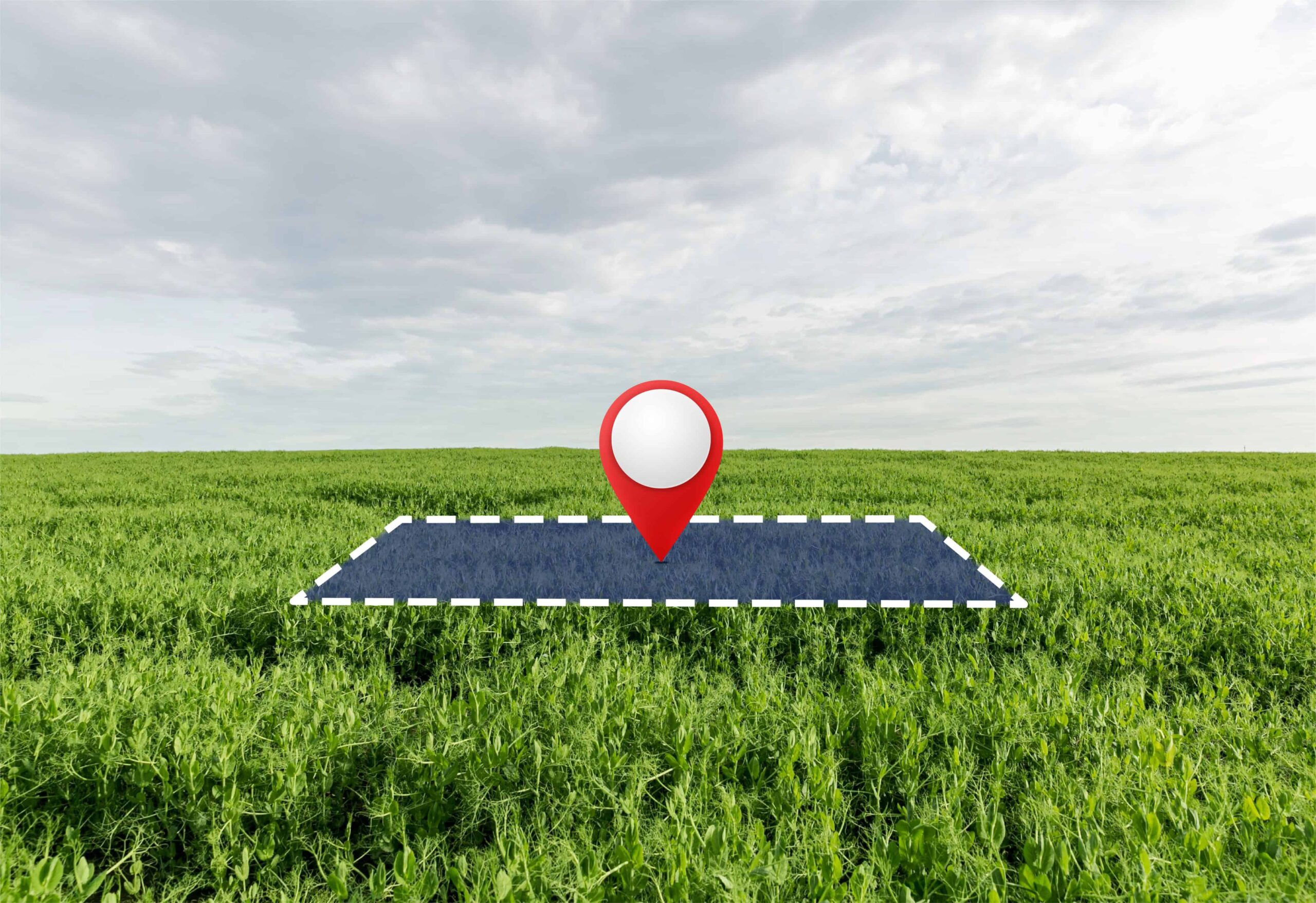
The Story Behind Your Field Map: GIS Data Collection and Processing
When I first heard about GIS, it sounded like something only big companies or scientists would use—but over time, I’ve found it becoming as natural to farming as the soil under our boots. These days, even a simple laptop or desktop computer can serve as a window into our land’s story. Whether I’m using a drone or checking satellite feeds, every device helps me gather spatial data that used to take days, sometimes weeks, to figure out by eye. That same data, once processed, lets me see images and maps that show my crops’ overall health, how the terrain might affect growth, the soil type, or where more fertilization is needed. I’ve seen how hardware, software, and information all come together in these tools to give us something real—something that shows what’s happening even when we’re not in the field. A good GIS setup utilizes a variety of technologies, pulling in what’s relevant, even what’s hidden below the surface, and makes it easy to plan ahead. Every map I work with is created to help me act quickly, considering the right factors at the right moment. From tracking crop issues to mapping water flow, everything is linked, updated, and tracked in a way that fits the fast-moving world of modern agriculture. Knowing where the data comes from and how it’s put together means I can trust what I see, every time I need to make a decision.
Remote Sensing
Back when I had to walk the fields row by row just to check the health of my crops, I never imagined a day would come when I could get the same insights from way up in the sky. But that’s exactly what remote sensing has made possible. With satellites and aerial scans watching over the Earth’s surface, tools like Landsat 8—which quietly orbits the earth every 16 days—gather data that goes far beyond what our eyes can catch. It picks up on visible light bands and even the thermal infrared radiation (TIR) we can’t see, helping farmers to assess everything from moisture levels and nutrient content to early signs of insect infestation. These digital images become part of the bigger GIS picture, letting me visualize what’s happening across my land and act fast when something’s off. I use it to guide precision irrigation, spot plant diseases before they spread, and keep an eye on temperature fluctuations or water supplies during tough weather. It’s not just government satellites anymore—now even private groups are sending up niche ones just for monitoring agriculture. Honestly, the way this collected and land-based data turns into something I can use at the click of a button still amazes me, especially when I think about how much time and guessing it used to take.
Geographical Positioning System (GPS)
From where I stand, the biggest shift in my farming practice came the day I started using GPS not just to get from one place to another, but to understand my land inch by inch. When GPS and GIS integration became accessible, I realized I could collect real-time data about my fields—especially the position of every change I observed. As a hands-on agriculture producer, this meant I could precisely plot how and where to use my resources, without wasting a drop of water or a pinch of fertilizer. It’s surprising how small gadgets started helping me make big decisions to boost resource utilization efficiency. With GPS-enabled field mapping, I could easily analyze different crop varieties, understand the elevation levels across my plot, define exact field boundaries, and even monitor how my irrigation systems were performing. What once took seasons of trial and error can now be managed in a single day with the right coordinates and tools.
GIS Machinery
Back in the day, I had to rely on my eyes and guesswork to figure out how my crops were doing—but now, with today’s farm machinery and GIS working hand in hand, things have changed for the better. These new tools come with smart sensors that collect ground data and combine it with data from the sky sent down by satellites, giving me a clearer picture than ever before. I’ve got GPS tracking equipment fixed on my sowing machines, harvesters, and smart irrigation systems, and with that setup, I can actually measure crop production and quality—including moisture and chlorophyll levels—in real time and down to the specific location. Some of these advanced machines even run autonomously, making decisions on their own based on what they collect, while others help me feed everything back into my GIS analysis so I can plan ahead. For someone like me, who depends on the land for a living, this isn’t just technology—it’s peace of mind.
Advantages of GIS in Agriculture
Recently, GIS applications in agriculture has expanded due to technological advancements. Some of them are as follows
1. Precision Agriculture
Out here in the fields, I’ve seen firsthand how using precision agriculture with GIS software can really make a difference. It’s like having a bird’s-eye view and a magnifying glass rolled into one—giving me detailed maps that show how my vegetation and productivity are doing across the land. With these productivity maps, I can spot where the soil is doing well and where it needs a bit more help. Thanks to crop monitoring tools, I look at data from past seasons and figure out which areas are productive and which are unproductive, then I gently boost those weaker spots with potassium-phosphorus solutions. My agriculture machinery now knows just how much seed, fertilizer, nutrients, or herbicides to put on each plot, all based on the vegetation levels in each field area. It helps me make reasonable decisions—not by rushing, but by listening to what the land needs and working with it, season by season, just like we’ve always done, only smarter.
2. Agriculture mapping
Back when I started working with farmers on satellite-based tools, many didn’t believe that something flying way up in the sky could help them understand their crops on the ground. But once they saw how satellite imagery and GIS technology could create soil index maps, show vegetation indices like the NDVI, and guide crop production, things changed. Vegetation monitoring tools help us visualize how different variables affect yield, and whether issues lie in the soil, crop health, or something else entirely. With smart agriculture mapping, we don’t just guess anymore—we manage fields by understanding spatial data, tracking plant index changes, and applying precision farming decisions based on agro-environmental data. It’s like walking through the field with invisible glasses that show you hidden truths—truths that satellites and remote sensing bring to life through geospatial insights and multi-temporal analysis.
3. Crop Health Status
One of the most practical benefits I’ve seen firsthand with GIS-based tools is how they’ve transformed crop health monitoring from guesswork into precise decision-making. Using remote sensing through satellites, aircraft, and on-field sensors, we’re able to collect imagery that shows subtle signs of pest infestation, dehydration, or disease before they become visible to the naked eye. This is a game changer, especially in large areas where manually checking every spot is not only labor-intensive but often too slow to catch issues early. These lifesavers detect high temperatures or unhealthy crop temperatures that can indicate stress. The key is how precision agriculture combines these signals to prioritize interventions. From my experience helping farmers set up these systems, I’ve seen how early alerts—triggered by abnormal data—can prevent major losses, especially when the problem isn’t clear on the surface. With GIS, we’re not just reacting anymore-we’re getting ahead of the problem, field by field, pixel by pixel.
4. Livestock Monitoring
GIS and smart agriculture tools are helping farmers keep better track of their livestock. With a simple portable tracker or device, you can now monitor the health, movements, and even fertility and nutrition of each animal on your farm. The tracker sends data that a software application can receive and display, helping you know when a cow isn’t eating right or if a goat is missing. It’s like having an extra pair of eyes on the ground all the time, without having to walk the whole field.
5. Insect and Pest Management
When it comes to saving our crops from harmful insect pests, using GIS tools makes the job much easier and more accurate. Instead of spraying the whole field, we can now find out exactly where the problem is starting, thanks to remote sensing and GIS mapping. These tools utilize satellite images to identify early signs of trouble, such as changes in the appearance of healthy plants, which can indicate pest attacks. From my work with farmers, I’ve seen how this helps us catch pests like aphids, borers, or whiteflies before they spread. By studying weather data, soil conditions, and even past pest patterns, we can act early and use just the right amount of pesticide only where it’s needed. This saves money, protects the crop, and keeps the land healthier for the next season as well.
6. Irrigation Management
We can assess each crop for water stress, spotting visual patterns that show if there’s too much or too little water. Using NDWI and NDMI indices, especially the NDMI index that runs from -1 to 1, we get clear, intuitive data. Negative numbers near -1 indicate shortages, while positive ones close to 1 mean waterlogging. This helps us regulate water better, avoid deficiency or oversupply, and follow real best practices in agriculture. For Agritech leaders, this is the kind of smart move that makes a big difference.
7. Yield Prediction
Reliable yield estimates enable farmers, governments, and enterprises to plan budgets, guess profits, and keep food supplies steady. Thanks to technological advances like satellites, remote sensing, big data, and artificial intelligence, these forecasts are now more accurate than ever. I’ve also noticed how GIS technologies are not just used in agriculture, but in things like environmental protection, urban planning, deforestation, reforestation management, and even disaster mitigation—it’s amazing how geographic information systems are now so widely used in so many spheres.
GIS applications in Sustainable agriculture
GIS technology is a real game-changer for farmers and agriculture producers trying to keep up with a growing population. It helps us plan smart by showing the best, most productive and environmentally friendly locations for planting new crops, shifting to organic farming, and allocating farmland for steady food production in the future. Groups like the FAO have been using GIS and geospatial technologies for over 30 years to build sustainable food systems worldwide. It’s also great for monitoring water supplies, forecasting droughts, and checking how human activities and natural phenomena affect our land. We can combine and analyze agriculture data, share maps, and help local communities make better choices. With better technology, we’re one step closer to guaranteeing agriculture sustainability and keeping the farming industry strong for future generations.